Story The Project Gallery Location Contact
ENITDE
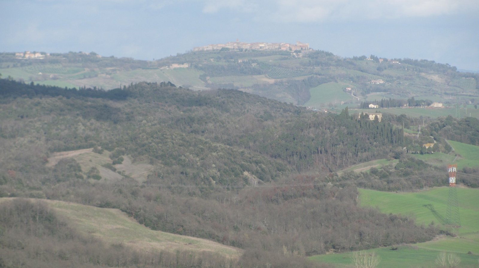
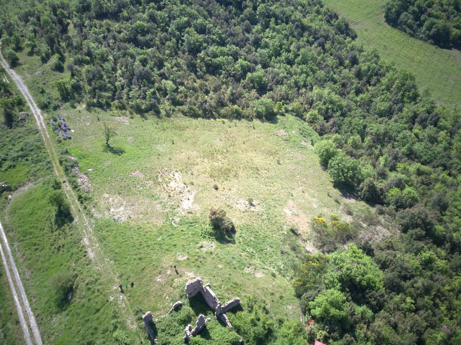
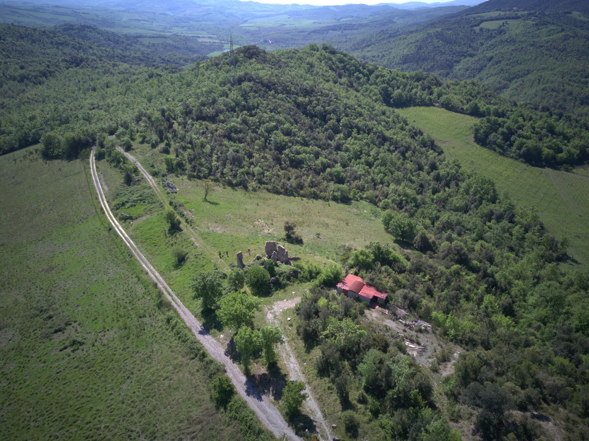
Aerial view of the Monteburniano ridge, ruin and access track

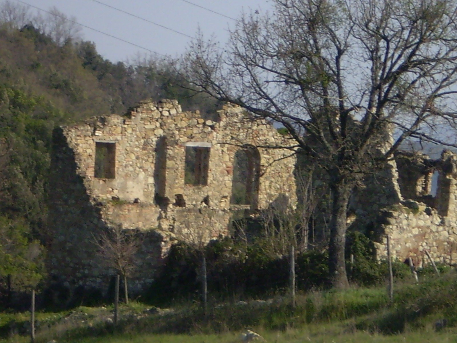
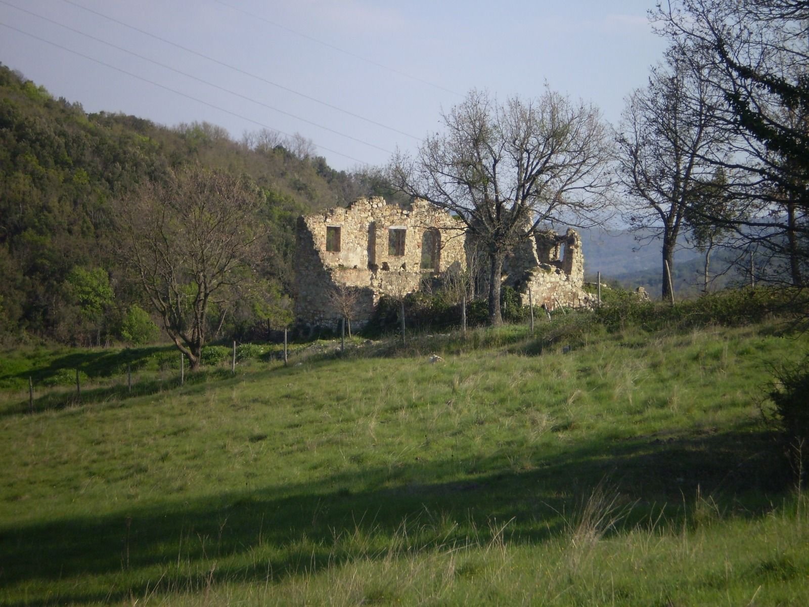
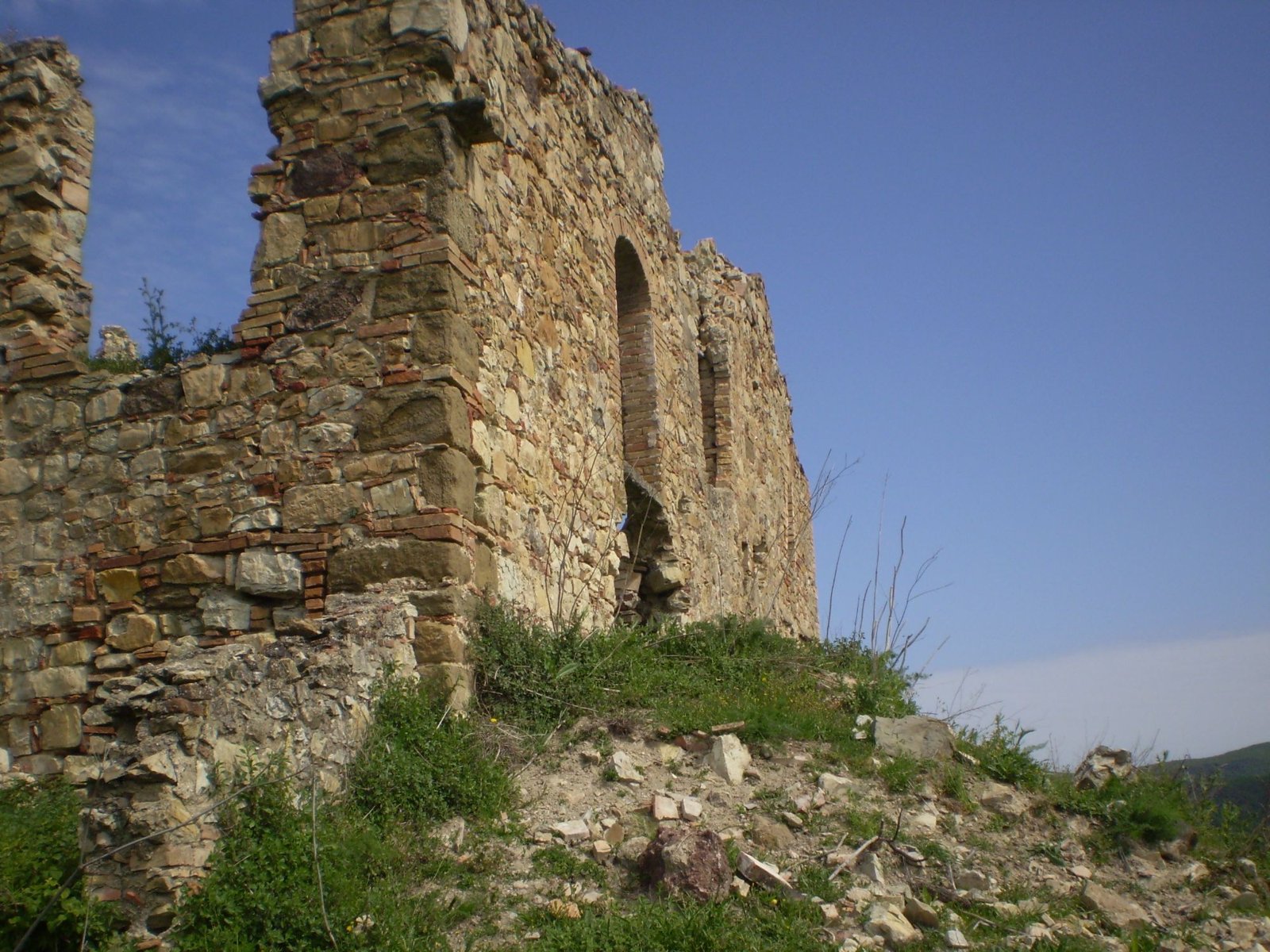
Typical Tuscan farmstead in a state of ruin

A typical Tuscan farmstead in a state of ruin, with a recovery project, currently served by the public water mains and the electricity grid. 22,400 sqm near the Berignone nature reserve.

22,400 m²
Land included
≈ 370 m²
Main house design
280 m
Altitude on the ridge
105 m²
Capanna (outbuilding)
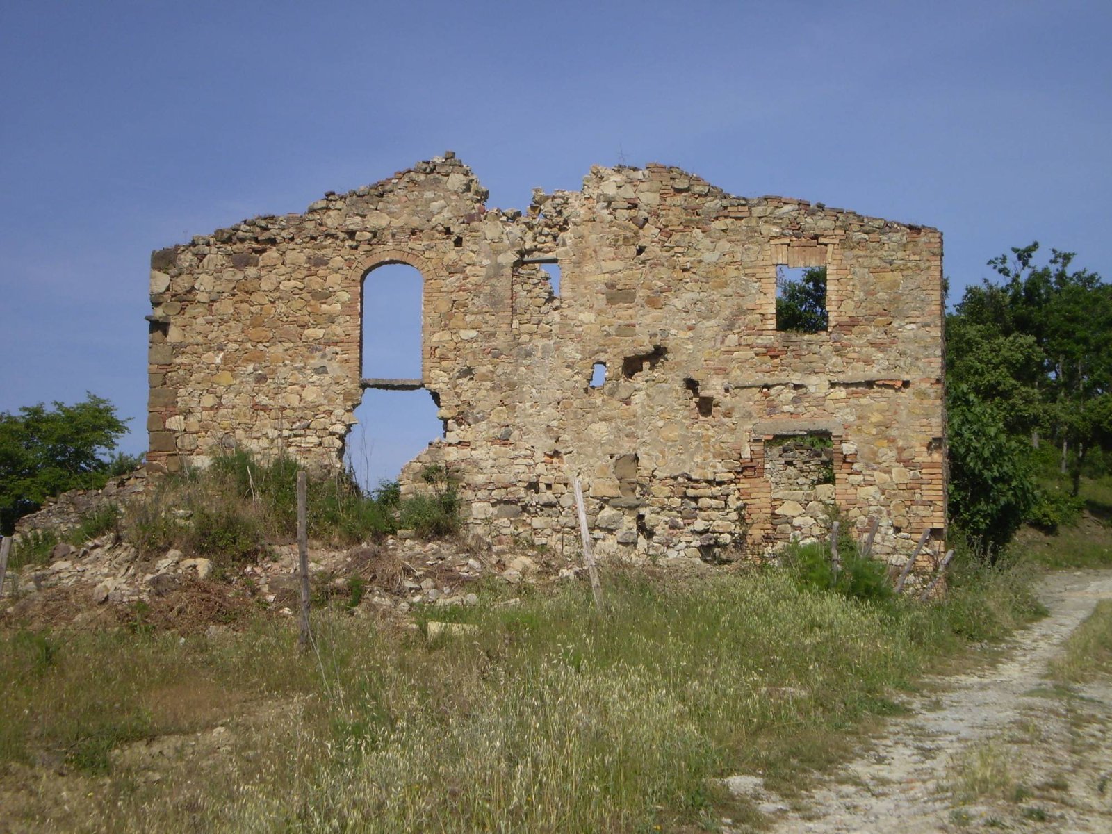
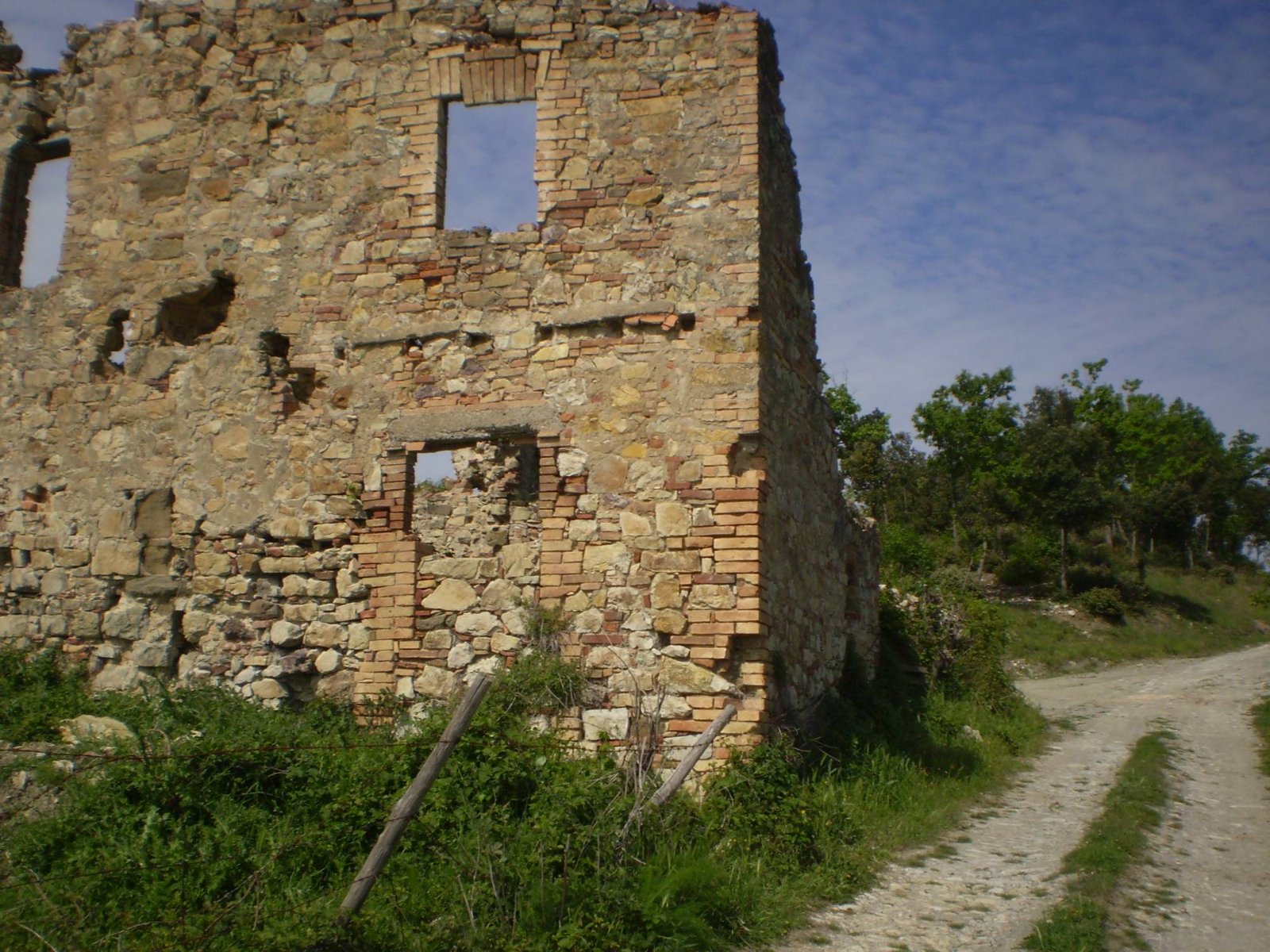
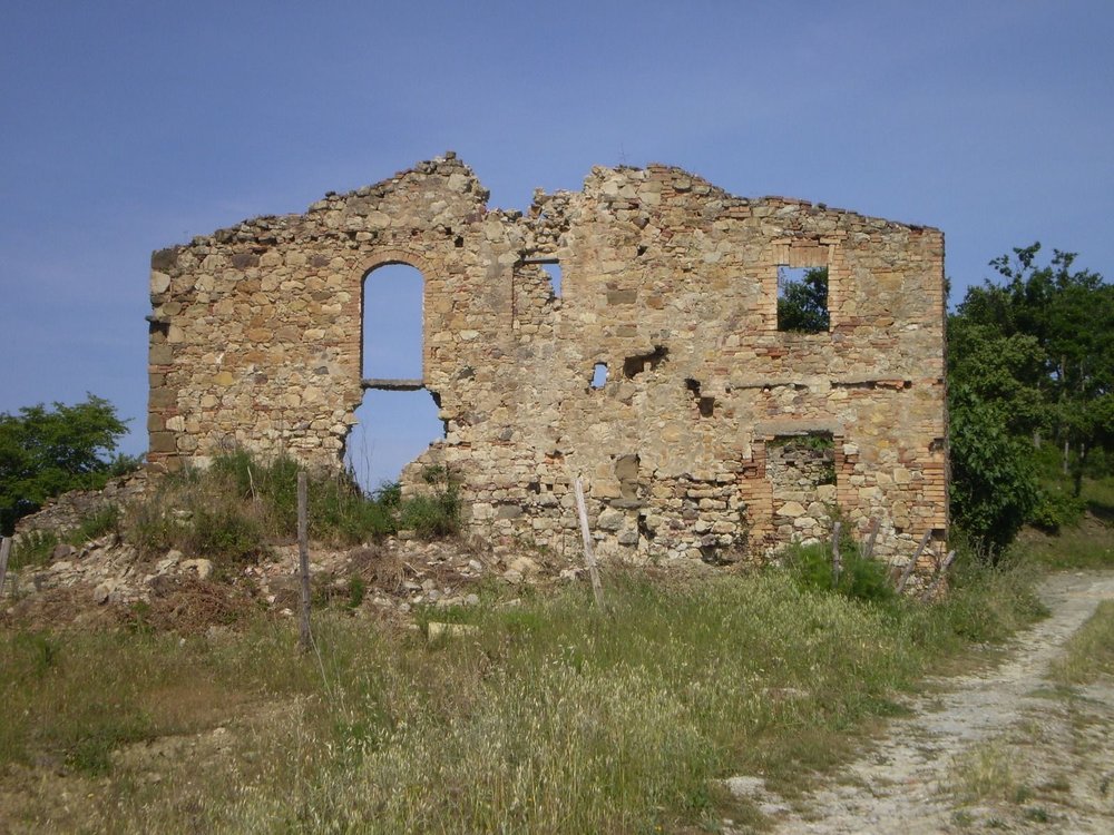
The dirt track leading up to the ruin

Home to a farming family for seventy years. Empty for the last fifty.

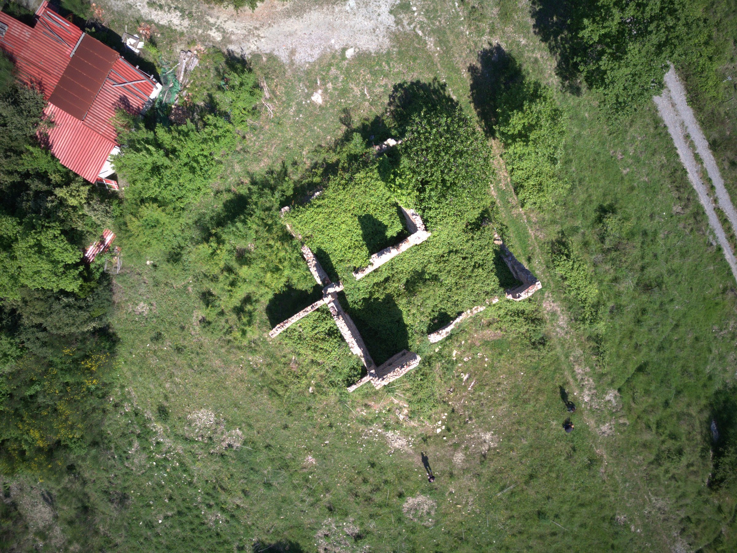
The two stone and brick buildings on this ridge were raised in the early 1900s: a farmhouse with stables and storage below and living quarters above, and a hayloft with a single round column at its centre.

A family of contadini worked this land until the 1970s. When Italy's countryside emptied out, the buildings were left to the weather. What stands today is a genuine ruin, its walls and window openings still legible, waiting for its second life.
The preliminary design

Two ways to build it. The choice is yours.

A complete preliminary design already exists for both options below. A new recovery plan and the building permits are still to be obtained.

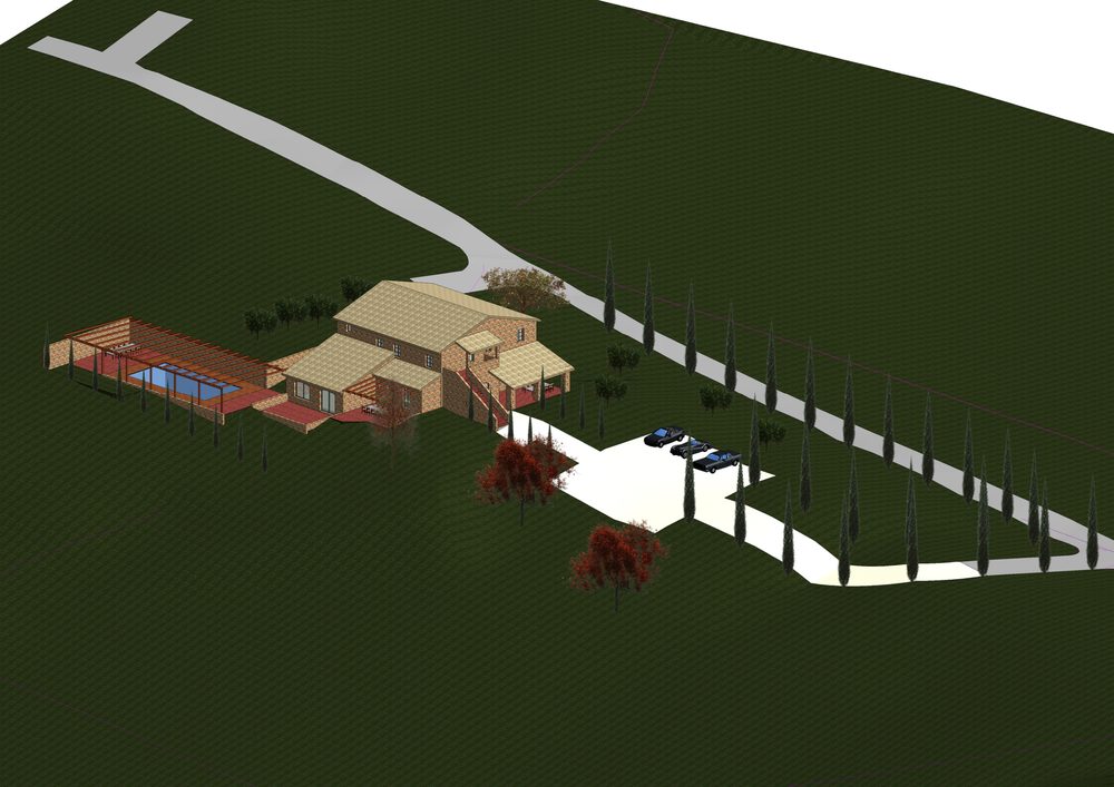
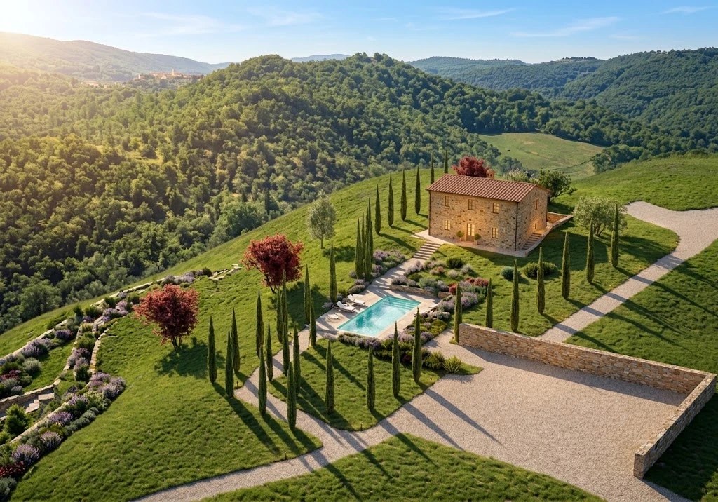
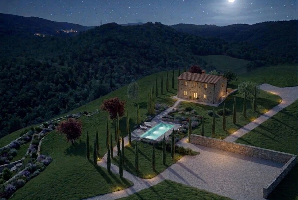
Architect's concept render of the restored farmhouse with pool
One estate

A private villa

The farmhouse as the main residence, the restored hayloft as a guest house, joined by a pool terrace and a cypress-lined approach. Built for a family who wants one address, not shared walls.

≈ 370 m²main house
22,400 m²of grounds
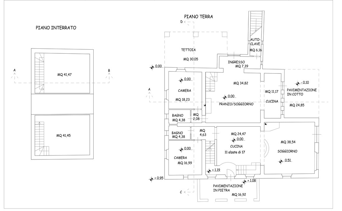
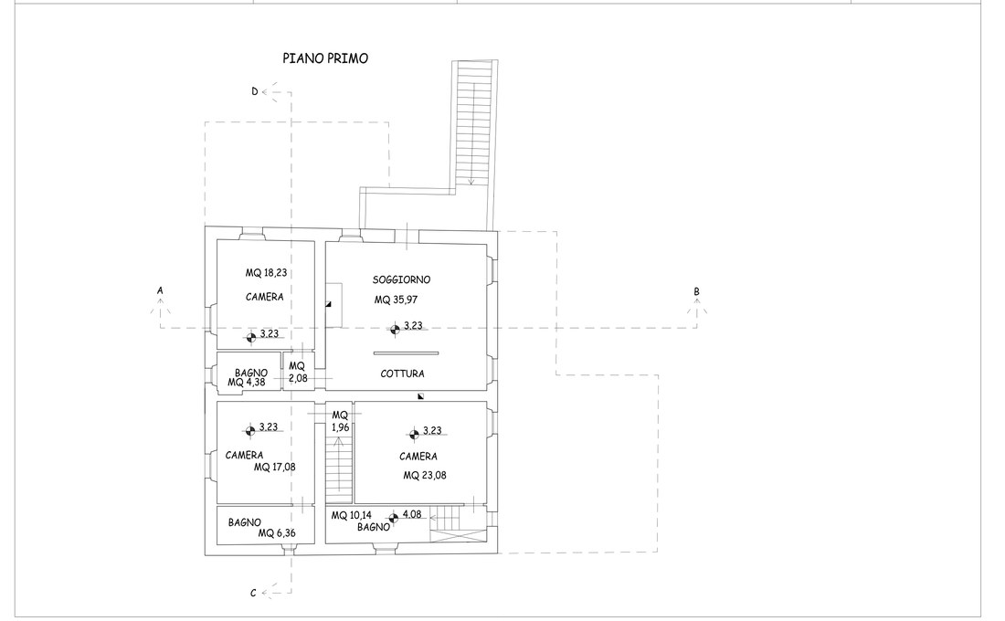
Preliminary floor plan showing three independent apartments
Four addresses

A private hamlet

Keep the four-unit layout of the preliminary design: up to three independent apartments in the farmhouse, each with its own entrance, plus a fourth in the restored hayloft. Interiors can be customised. Built for an extended family, or for guests who pay their own way.

4independent units
≈ 370 m²in the farmhouse

Both options start from the existing preliminary design. A recovery plan was prepared in the past but never authorised, so none is in force: a new recovery plan and all building permits are to be obtained by the buyer, followed by construction as a separate budget.

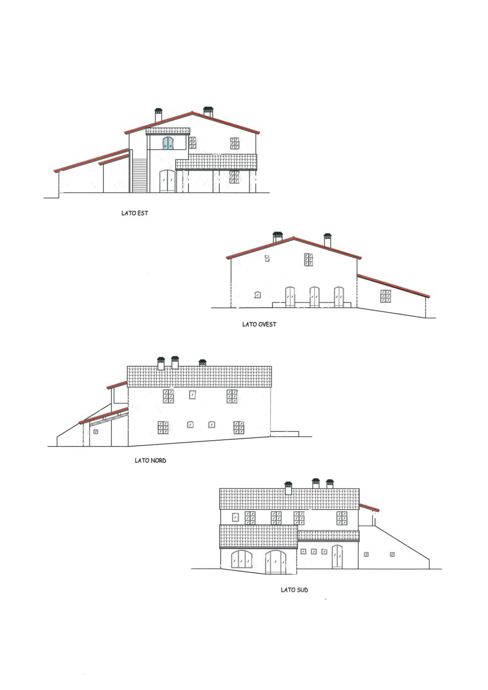
Elevations of the farmhouse, east, west, north and south sides Preliminary first floor plan

What is already on paper

Complete preliminary drawings cover every side of both buildings and every floor. CAD (.dwg) files of the elevations and floor plans are available.

Farmhouse (Edificio A)
Ground and first floor≈ 370 m², three units
Hayloft / guest house (Edificio B)
Single storey, one unit≈ 105 m² footprint
Underground allowance
Per the building rules of the timeup to 30% of covered area

One version of what could stand here

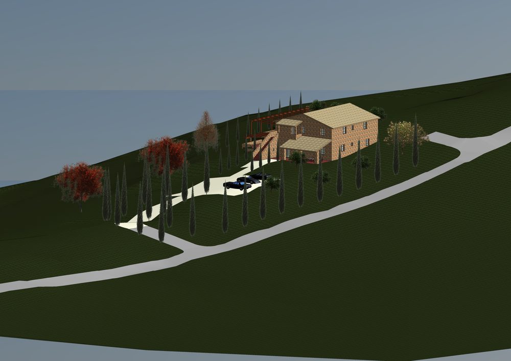
An early landscape study by the property's architect: the farmhouse restored, a pool and pergola added, a cypress drive leading up from the track. Shown as inspiration, not obligation. The final design is the new owner's to choose.

Render of the approach drive lined with cypress trees
Render of the restored farmhouse seen from the pool terrace
Where it stands

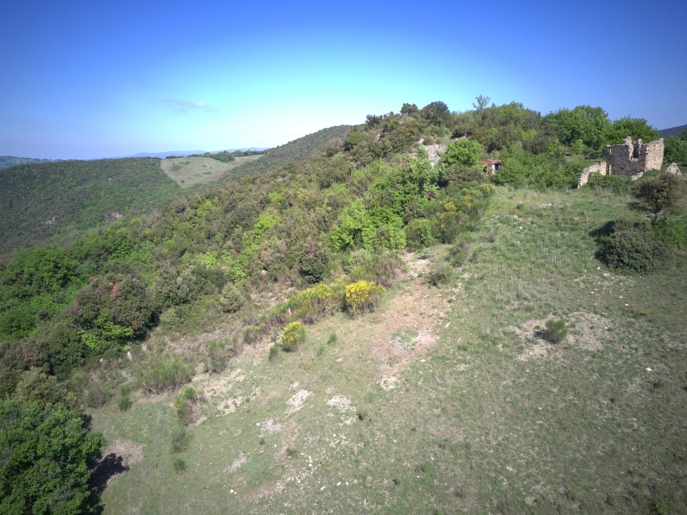
On the ridge above the Cecina valley

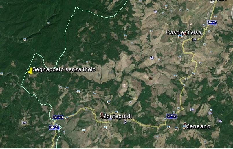
At the end of a consortium road (with the Comune's participation) off Monteguidi, near the Berignone nature reserve: Mediterranean woodland, hiking and riding trails, and the Cecina river below.

Map showing the location of Monteburniano near Monteguidi and Casole d'Elsa
View of the valley and the access road from the air
Monteguidi villageabout 20 min
Colle di Val d'Elsa30 min
Siena50 min
Florence airport1h 15
Pisa airport1h 50
The coast1h 15

Direct flights to Florence from Zurich, Geneva and Frankfurt. Monteguidi itself: about 150 residents, a restaurant, a small grocery store. The other times are measured from Monteguidi.

The numbers

Everything on the table

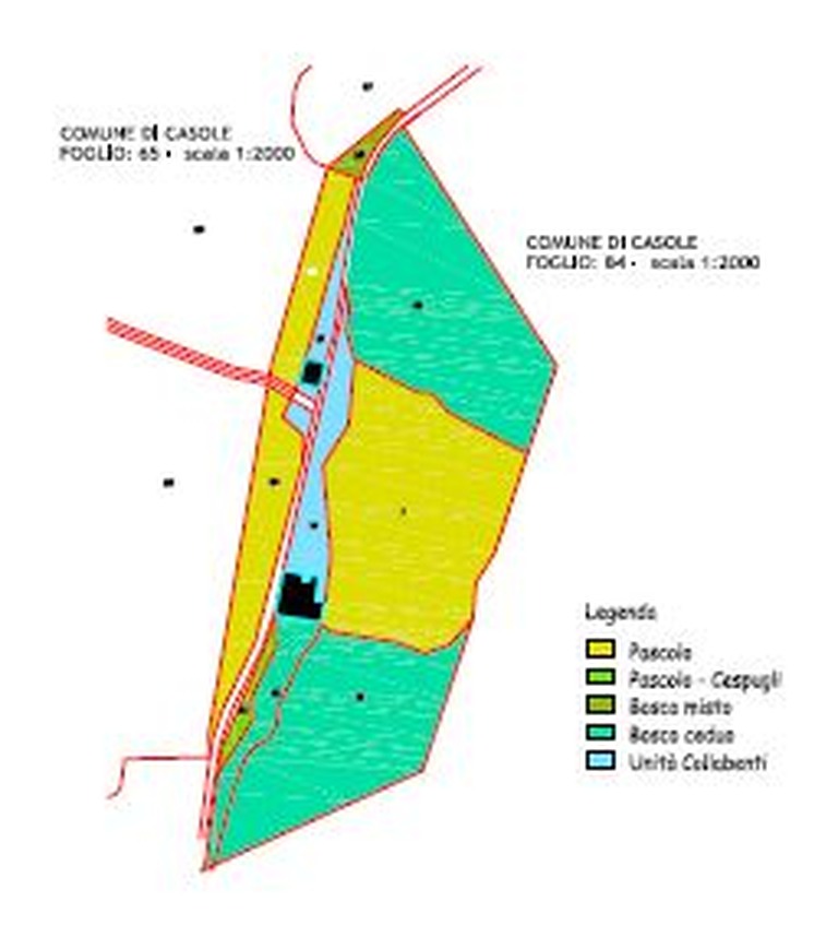
Land-use map of the property: pasture, scrub pasture, mixed woodland, coppice woodland and the two ruined units

The land

22,400 m² across two cadastral sheets (Foglio 65 and 84) of the Comune di Casole d'Elsa: pasture, scrub pasture, mixed woodland and coppice woodland. Both ruined buildings are recorded in the cadastre as unità collabenti.

Property
Land22,400 m²
Main house, living area≈ 370 m²
Cadastral statusTwo ruined units (unità collabenti)
Planning and utilities
Recovery planTo be filed anew
AuthorityComune di Casole d'Elsa
ElectricityMains, with meter at the house
Public aqueductConnected to the house
Access and documents
AccessConsortium road, Comune participates
Technical dossierFloor plans and survey
Building permitsTo be obtained
€230,000

Price for the land, the ruin, the guest house and the preliminary design. Recovery plan, building permits and construction are separate steps, led by the buyer. Price negotiable.

Contact

Serious enquiries receive the full technical dossier: cadastral extracts, the complete planning file and high-resolution photography.

The form delivers straight to the owner's inbox. You will hear back directly, no agency in between.

Direct contact

Email(loading)